
Geological mapping
Geological mapping is a strategic pillar of the Ministry of Mines and Energy (MME), as it represents the starting point of the country’s entire mineral and territorial policy.
By revealing the structure, composition and potential of the Brazilian subsoil, the mapping provides essential scientific information for the formulation of public policies, the attraction of investments and the planning of the sustainable use of the national territory.
For the MME, geological knowledge is the link between science, development and sovereignty: it is what transforms the mineral heritage into a vector of economic growth, job creation and technological innovation, ensuring that the use of natural wealth occurs in a planned, responsible and public interest manner.
CONTRIBUTIONS TO THE ADVANCEMENT OF GEOLOGICAL MAPPING
The MME has led structuring initiatives aimed at strengthening geological mapping and consolidating an integrated governance of geoscientific data, among which the following stand out:
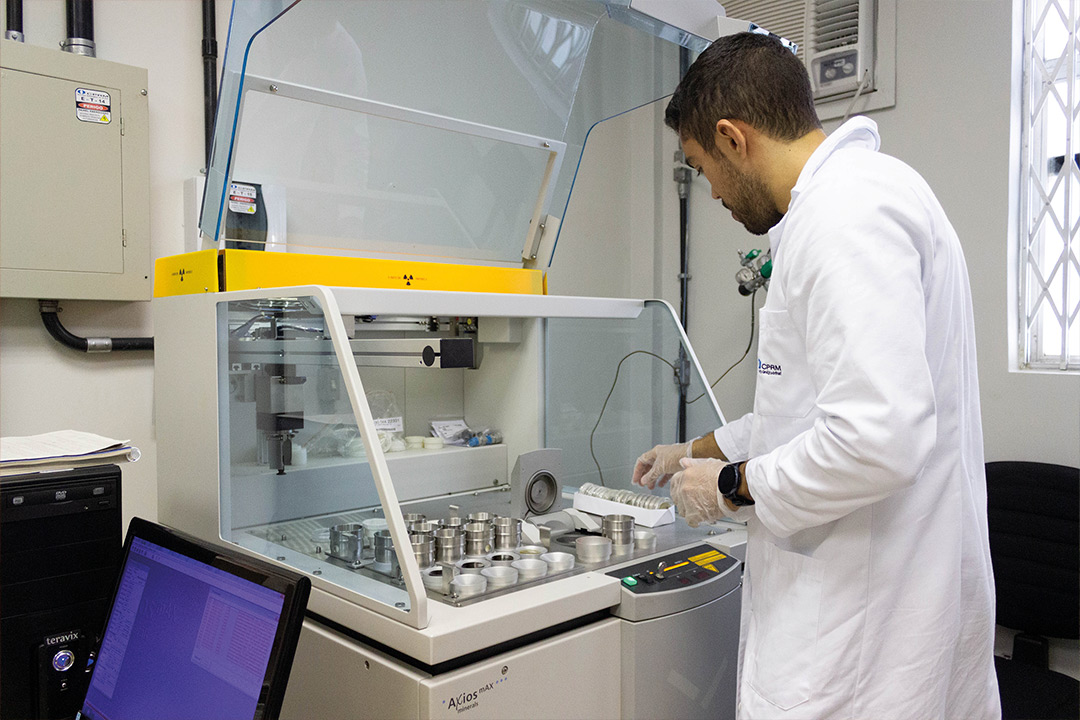
- Institutional integration between MME, Geological Survey of Brazil (SGB)/Mineral Resources Research Company (CPRM) and National Mining Agency (ANM), creating an interoperable ecosystem of geological and mining information, which supports both regulation and inspection as well as sectoral planning and the promotion of mineral research.
- Adoption of standardized reference scales, with emphasis on 1:250,000 and 1:100,000 as the main mapping scales, in addition to details in 1:50,000 and 1:25,000, when technically justified.
- Transparency and governance – The products of the National Geology Plan (PlanGeo) are made available on public digital platforms, ensuring open and free access to state governments, companies, research institutions and civil society.
These strengthen the national infrastructure of scientific data, reduce exploratory risks, attract qualified investments and boost the sustainable use of Brazilian mineral resources, in line with the axes of the Growth Acceleration Program (PAC) and the Safe and Sustainable Mining Program, provided for in the Multiannual Plan (PPA) 2024-2027.
WHAT IS PLANGEO AND ITS IMPORTANCE
The National Geology Plan is a State program, instituted by MME Ordinance 72/2024, with a ten-year horizon (2025-2034), which defines goals and priorities for the geological, geochemical, and geophysical mapping of the national territory.
Its objective is to expand knowledge about Brazilian mineral resources and provide a scientific basis for strategic decisions in the areas of territorial planning, environmental management, mineral research, energy transition and public policy formulation.
PlanGeo prioritizes regions with low geological knowledge, such as the Legal Amazon and the Midwest, without strict conceptual restrictions, but with observance of Indigenous Lands and Full Protection Conservation Units, which are considered for mapping. The areas are defined based on geological interest, mineral potential and territorial relevance.
In a first scenario, the estimated budget for the execution of the plan is R$ 77 million.
For example, each sheet at the scale of 1:100,000 covers 3,000 km², and each sheet 1:250,000 covers 18,000 km².
The public consultation held between April and June 2024 had 345 participants, 42% from the private sector, 31% from academia and 27% from the public sector, reinforcing the participatory and collaborative nature of the planning.
PlanGeo 2025-2034 consolidates the role of the SGB as a technical executor and disseminator of geoscientific knowledge, under the coordination of the MME, which ensures the legal, institutional and budgetary instruments for its implementation.
STRATEGIC IMPACTS
Investment in geological mapping is one of the priorities of the Brazilian Mineral Policy, with direct impacts on national development in multiple dimensions:
- Attraction of investments and international competitiveness – Quality geological information reduces exploratory risks and increases the attractiveness of the country.
- Energy transition and critical minerals – PlanGeo subsidizes the identification and quantification of lithium, nickel, cobalt, copper, graphite and rare earth deposits, minerals essential to the battery industry, renewable energies and low-carbon technologies
- Environmental management and territorial planning – Knowledge of the subsoil is crucial for the prevention of geological disasters, urban and rural planning, the protection of aquifers and the efficiency of environmental licensing, contributing to the balance between economic use and environmental preservation.
- Regional development and territorial inclusion – The expansion of mapping in areas of less geological knowledge, especially in the Amazon and the Northeast, strengthens regional planning capacity, promotes local opportunities and reduces historical asymmetries in access to geoscientific knowledge.
- Sovereignty and national security – By reducing dependence on foreign geological data, PlanGeo reinforces the scientific and strategic autonomy of the Brazilian state, ensuring control over sensitive information from the subsoil and strengthening the formulation of evidence-based public policies.

Published: November 12, 2025
Photos credits: Serviço Geológico do Brasil (SGB)